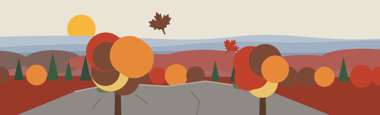
Illustration
Illustration
Illinois
Best time to visit the Shawnee National ForestWhen to catch pink azalea at LaRue Pine Hills and fall color
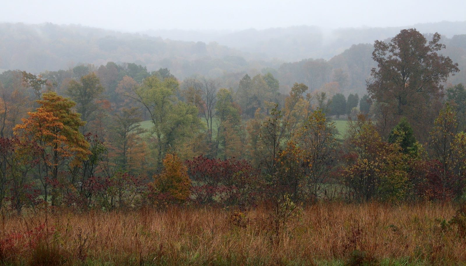
Shawnee National Forest through the year: pink azalea at larue pine hills (usually: Mother's day weekend in May) and fall foliage (statewide: usually well under way by late October). Each has its own page with spots, sources and the latest reports.
Checked against 2 official sources · How we check →
About the Shawnee National Forest
- What it is
- A national forest in Illinois
- A little history
- The earliest settlers built homesteads along its rivers.Native Americans used the area's resources for more than 15,000 years.
- What you'll see
- Pink azalea at LaRue Pine Hills · usual peak MayFall foliage · Oct (statewide)
- Before you go
Year-round(1 tip)
- Trails: Bell Smith Springs has eight miles of linked trails past rock formations such as Devil's Backbone.
Fall foliage · Oct (statewide)(2 tips)
- Bugs: Autumn brings fine fall color and few insect pests at Garden of the Gods Wilderness.
- Closures: Snake Road closed to cars (September–October).
Pink azalea at LaRue Pine Hills · May(1 tip)
- Closures: Snake Road closed to cars (March–May).
RIGHT NOW · OCT 3
- Latest reportNo dated report this season; the posters below show each usual window.
- This weekend (NWS)Sat mostly sunny, 73°F · Sun mostly sunny, 75°F
- Park alertsCheck the managing agency before you go
When are you going?
Fall at the Shawnee National Forest
Next peak here after fall
Winter at the Shawnee National Forest
Nearby in winter
Illustration
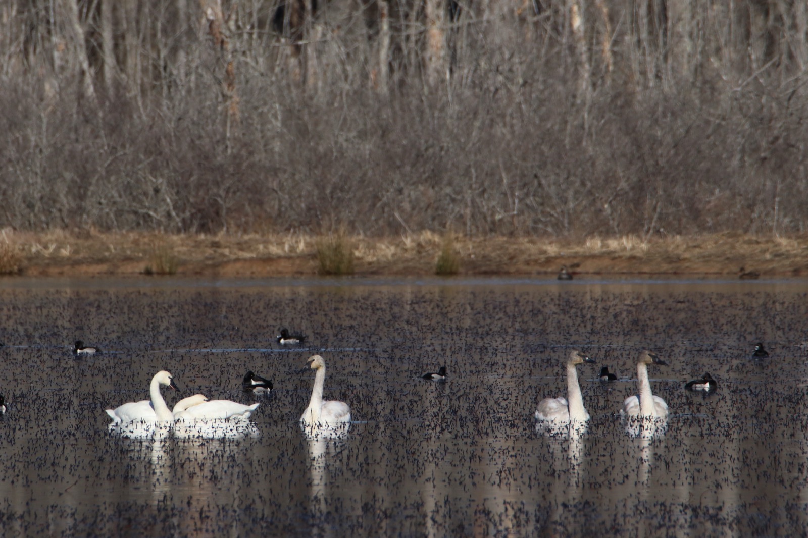
Wintering bald eagles in TennesseeReelfoot Refuge
Wildlife refuge
Best viewing
Mid-December through mid-March
Illustration
Next peak here after winter
Spring at the Shawnee National Forest

Illustration
Summer at the Shawnee National Forest
Nearby in summer
Illustration

Next peak here after summer
Where to go at the Shawnee National Forest
Spots, visitor points and places nearby
- Pin color, each place's season now or next:
- Summer
- Fall
- Winter
Visitor points on this map: Pharaoh Picnic Site -Garden Of The Gods (0.1 mi) · Garden Of The Gods Recreation Area (0.3 mi) · Golden Circle Parking-Garden of Gods (0.8 mi) · High Knob Trailhead (2.5 mi)
Places on this map (5)
Best spots
Where each event's source says to go
Bell Smith Springs Recreation Area
Best spot
Wildflowers carpet the forest in spring; Bell Smith Springs Road stays open during culvert work, with periodic traffic stoppages
Good for: Pink azalea at LaRue Pine HillsUS Forest Service ↗
Inspiration Point Trail (LaRue-Pine Hills)
Best spot
Seasonal wildflowers along the trail, with birds, reptiles and amphibians
Good for: Pink azalea at LaRue Pine HillsUS Forest Service ↗
Garden of the Gods Observation Trail
Best spot
Quarter-mile to bluff-top sandstone formations
Good for: Fall foliageUS Forest Service ↗
Pomona Natural Bridge
Best spot
0.3-mile loop to a 90-foot sandstone arch
Good for: Fall foliageUS Forest Service ↗
Bell Smith Springs
Best spot
Eight miles of trails through canyons and cliffs
Good for: Fall foliageUS Forest Service ↗
LaRue Pine Hills drive
Best spot
Bluffs over the Mississippi floodplain, 35 miles round trip
Good for: Fall foliageUS Forest Service ↗
Next 7 days at the Shawnee National Forest
Forecast: National Weather Service
Last checked Fri, Oct 2: our daily Weather Service update hasn't come through since. Check weather.gov before you go.
Around the Shawnee National Forest
In season first, then nearest; straight-line miles
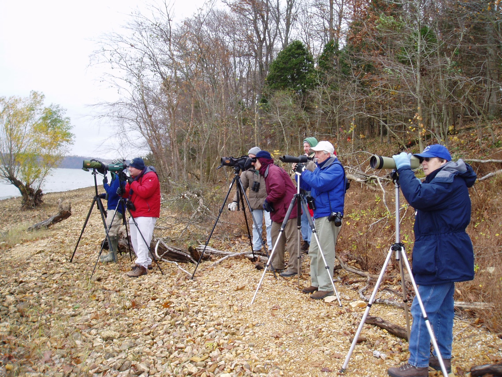
Wintering bald eagles in Tennessee
96 mi away
Best viewing: Mid-December through mid-March
Show all 9 →
Other places to visit: Land Between the Lakes National Recreation Area (Fort Henry trails) 78 mi · Fort Donelson National Battlefield 82 mi
Next season here: Fall foliage, usually well under way by late October (statewide timing).
Towns nearby
Straight-line miles from Shawnee National Forest
- Paducah, KY · 40 miFirst frost ~Oct 27
- Evansville, IN · 53 miFirst frost ~Nov 10
- Cape Girardeau, MO · 68 miFirst frost ~Oct 25
- Bowling Green, KY · 115 miFirst frost ~Oct 31
Show all 6 towns
- St. Louis, MO · 124 miFirst frost ~Nov 4
- Nashville, TN · 132 miFirst frost ~Oct 31
First frost: NOAA 1991–2020 normals at each town's nearest station.
Questions people ask
Is fall a good time to hike Garden of the Gods Wilderness in the Shawnee National Forest?
The Forest Service says autumn brings fine fall color and few insect pests.Source: US Forest Service, Garden of the Gods Recreation Area ↗ (opens in a new tab)
Is the way down at Bell Smith Springs in the Shawnee National Forest easy?
It's stone steps set into the cliff side, down to the canyon floor.Source: US Forest Service, Bell Smith Springs Recreation Area ↗ (opens in a new tab)
What birds draw birders to Bell Smith Springs in the Shawnee National Forest?
Tanagers, sparrows, pileated woodpeckers, eastern phoebes and several vireos, the Forest Service says.Source: US Forest Service, Bell Smith Springs Recreation Area ↗ (opens in a new tab)
How much trail is there at Bell Smith Springs in the Shawnee National Forest?
Eight miles of linked trails past rock formations such as Devil's Backbone.Source: US Forest Service, Bell Smith Springs Recreation Area ↗ (opens in a new tab)
How we know
The official pages behind every date on this page
- Sep 30Forest ServiceLaRue Pine Hills, Shawnee National Forest: seasonal timingSource (opens USDA Forest Service, LaRue Pine Hills, Shawnee National Forest in a new tab)
- Oct 3SightingsVolunteer observations of deciduous trees and shrubs: share with half or more of their leaves colored, per stateSource (opens USA National Phenology Network, colored leaves observations in a new tab)
- Oct 3ReferenceRedbud Campground open March 15 to December 15Source (opens US Forest Service, Bell Smith Springs Recreation Area in a new tab)