State guide
When to catch Indianathrough the year
We follow 3 places in Indiana for fall foliage, wildflowers and wildlife by season: fall at Hoosier National Forest and Indiana Dunes, spring at Indiana Dunes and summer at Patoka River Refuge. Each timing below is the place's own source, in its words; none is a forecast.
When are you going?
Fall in Indiana
- USUAL PEAK · FALL FOLIAGEIndiana DunesAround mid-OctoberIndiana
“around mid-October” · National Park Service ↗
Also good in fall
- Indiana DunesFall colors, late September through October
- Patoka River RefugeHalloween pennant dragonflies at the oxbows and wetlands (mid-June to early October)
From each place's own sources; no peak claimed.
Winter in Indiana
Next peak here after winter
“Most years, the wildflowers peak from late April through mid-May” · National Park Service ↗
Spring in Indiana
- USUAL PEAK · WILDFLOWERSIndiana DunesMost years, the wildflowers peak from late April through mid-MayIndiana
“Most years, the wildflowers peak from late April through mid-May” · National Park Service ↗
Summer in Indiana
- SEASON · WILDLIFE BY SEASONPatoka River RefugeFrom mid-June through early OctoberIndiana
“from mid-June through early October” · U.S. Fish and Wildlife Service ↗
Also good in summer
- Patoka River RefugeHalloween pennant dragonflies at the oxbows and wetlands (mid-June to early October)
From each place's own sources; no peak claimed.
Next peak here after summer
“around mid-October” · National Park Service ↗
Places in Indiana
- Summer
- Fall
Places on this map, as a list
Planning a Indiana trip
Towns to stay in
- Indianapolis, INHoosier National Forest · 116 mi
- Evansville, INPatoka River Refuge · 26 mi
- Bloomington, INHoosier National Forest · 72 mi
Nearest place we follow, straight-line miles.
Fees, passes and reservations
- Indiana Dunes: fees ↗
Current park alerts (NPS)
- Indiana Dunes: Partial Trail Closures on Bailly / Chellberg Trail ↗
- Indiana Dunes: Partial Trail Closure - Dunewood Trace ↗
Browse by season and event
- Fall foliage · 2 places hereFall foliage, everywhere →
- Wildflowers · 1 place hereWildflowers, everywhere →
- Wildlife by season · 1 place hereWildlife by season, everywhere →
Questions people ask
Why do these flowers bloom so early at Indiana Dunes?
Many are spring ephemerals: they race to finish their life cycle before the trees leaf out and shade the forest floor. The park's education page gives mid-April through May as the best time to see them in bloom.Source: National Park Service, Heron Rookery exploration (Indiana Dunes) ↗ (opens in a new tab)
Can I pick the wildflowers at Indiana Dunes?
No. Stay on the official trail and leave the flowers where they are; removing plants is prohibited.Sources: National Park Service, Heron Rookery exploration (Indiana Dunes) ↗ (opens in a new tab), National Park Service, Indiana Dunes: Heron Rookery Trail ↗ (opens in a new tab)
Can I climb Mount Baldy at Indiana Dunes?
The summit stays closed except on ranger-led programs; the beach trail is open.Source: National Park Service, Mount Baldy ↗ (opens in a new tab)
What are the park's hours at Indiana Dunes?
Unless posted otherwise, public areas are open daily from 6 a.m. to 11 p.m.Source: National Park Service, Indiana Dunes hours ↗ (opens in a new tab)
Is there a fee at Patoka River Refuge?
No, there is no charge to visit.Source: U.S. Fish and Wildlife Service, Patoka River NWR and Management Area: Visit Us ↗ (opens in a new tab)
Are there restrooms at Patoka River Refuge?
There's a comfort station in the Boyd Trail parking lot by Snakey Point Marsh; many other access points are far from any amenities.Source: U.S. Fish and Wildlife Service, Patoka River NWR and Management Area: Visit Us ↗ (opens in a new tab)
Nearby state guides: Illinois · Kentucky · Tennessee · Ohio
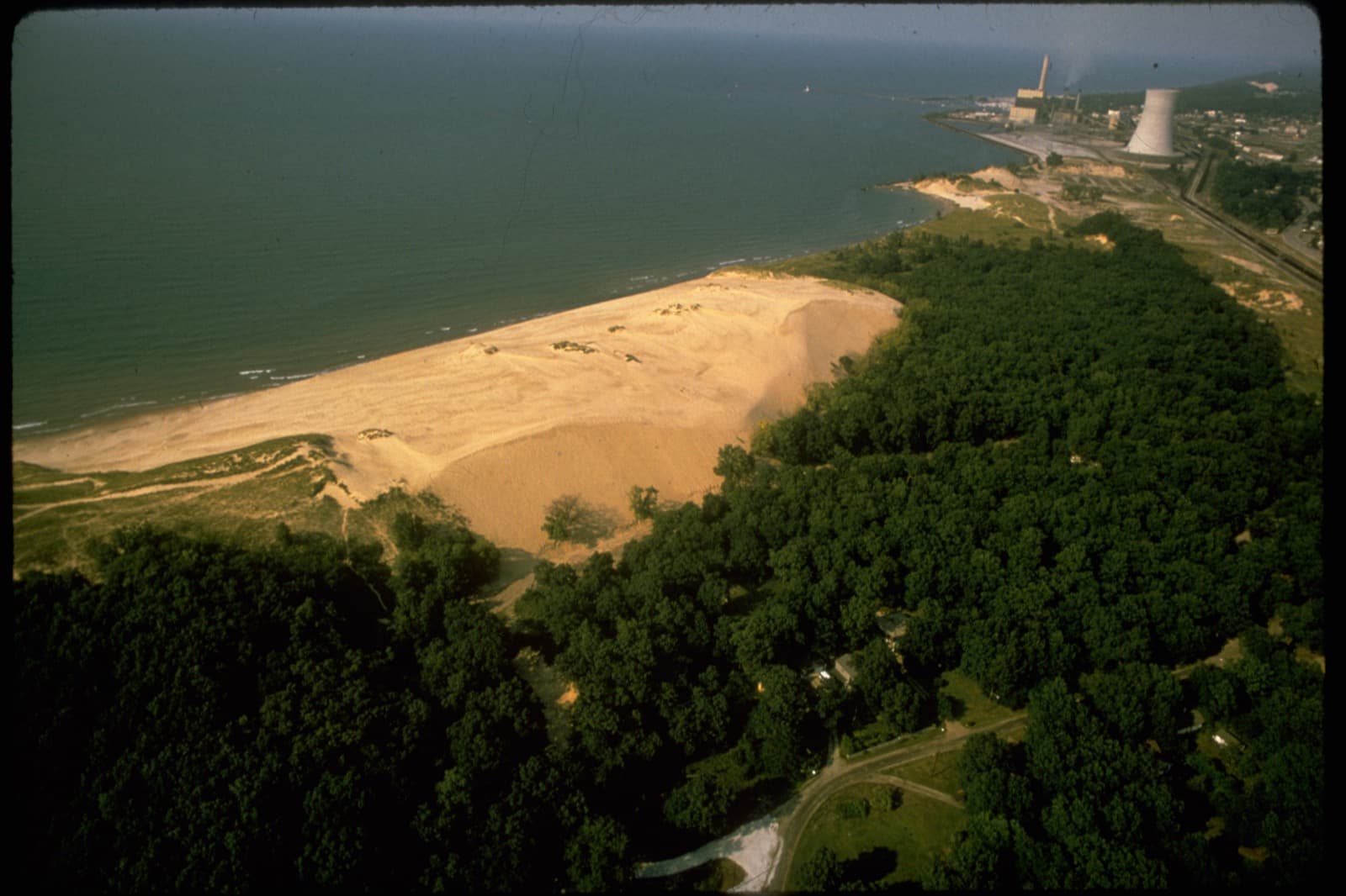
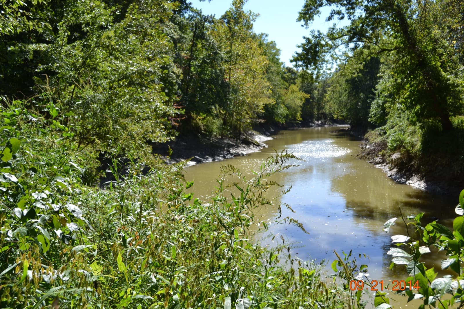
Indiana in pictures
How we know
- Sep 30SightingsVolunteer observations of deciduous trees and shrubs: share with half or more of their leaves colored, per stateSource (opens USA National Phenology Network, colored leaves observations in a new tab)
- Sep 30Park ServiceThe park's most extensive spring wildflower display; most years the wildflowers peak from late April through mid-May; trailheads, length, rulesSource (opens National Park Service, Indiana Dunes: Heron Rookery Trail in a new tab)
- Sep 26Park ServiceFall colors late September through October, peak around mid-October; spring wildflowers April and MaySource (opens National Park Service, Indiana Dunes things to do in a new tab)
- Sep 30Park ServiceDragonflies and damselflies; the Halloween pennant from mid-June through early OctoberSource (opens U.S. Fish and Wildlife Service, Patoka River NWR and Management Area: Species in a new tab)
- National Park Service sources: no claim to original U.S. Government works.