New Mexico
When to catch Bitter Lake Refugeat its best
Bitter Lake Refuge through the year: dragonflies and damselflies (usually: July and August) and sandhill cranes (local timing: October through December, with the peak around Thanksgiving). Each has its own page with spots, sources and the latest reports.
About Bitter Lake Refuge
- What it is
- A wildlife refuge in New Mexico
- A little history
- In 1937, to give migratory birds winter habitat. The 24,563-acre refuge is key to wetland conservation in the southwestern desert.It was first designated the Carlsbad Bird Refuge in 1935, and early on the land looked barren, with scattered stumps, sparse grasses and shrubs.
- What you'll see
- Dragonflies and damselflies · usual peak July and AugustSandhill cranes · Oct–Dec
- Before you go
- What should I bring to Bitter Lake Refuge? The refuge suggests lots of drinking water, plus sunglasses, sunscreen and insect repellant.
RIGHT NOW · OCT 1
- Latest reportNo dated report this season; the posters below show each usual window.
- This weekend (NWS)Sat mostly sunny, 75°F · Sun sunny, 80°F
- Park alertsCheck the managing agency before you go
When are you going?
Fall at Bitter Lake Refuge
Good in fall
- Sandhill cranes, October to December (peak around Thanksgiving)
From each place's own sources; no peak claimed.
Nearby in fall
Next peak here after fall
Winter at Bitter Lake Refuge
- SEASON · SANDHILL CRANESBitter Lake RefugeSandhill cranesWildlife refugeOctober through December, with the peak around Thanksgiving“October through December, with the peak around Thanksgiving” · U.S. Fish and Wildlife Service ↗
Next peak here after winter
Spring at Bitter Lake Refuge
Nearby in spring
Next peak here after spring
Summer at Bitter Lake Refuge
- USUAL PEAK · DRAGONFLIES AND DAMSELFLIESBitter Lake RefugeDragonflies and damselfliesWildlife refugeJuly and August“July and August” · U.S. Fish and Wildlife Service ↗
Where to go at Bitter Lake Refuge
- Winter
Visitor points on this map: Butterfly Trail Observation Deck (0.1 mi) · Dragonfly Observation Tower (0.8 mi) · Pajaro Trail Observation Blind (1.1 mi) · Overlook #2 (1.5 mi) · Wildlife Drive Picnic Area (2 mi) · Overlook #3 (2.6 mi) · Hunter Marsh Wildlife Viewing Area (2.8 mi)
Best spots
- Wildlife DriveGood for dragonflies and damselflies · sandhill cranesA 6.5-mile drive past moist soil units, wetlands, slow springs, shrubs and grasslandsU.S. Fish and Wildlife Service ↗
- Pajáro Bird BlindGood for dragonflies and damselflies · sandhill cranesA permanent photo and birding blind off the Wildlife Drive's southeast side, looking onto a wetland unit for wading and dabbling birdsU.S. Fish and Wildlife Service ↗
Next 7 days at Bitter Lake Refuge
- TodaySunny76° / 55°10% rain
- FriMostly Cloudy70° / 52°13% rain
- SatMostly Sunny75° / 54°1% rain
- SunSunny80° / 54°9% rain
- MonMostly Sunny78° / 53°10% rain
- TueSunny82° / 54°11% rain
- WedSunny84° / –10% rain
Heads up: Windy (winds up to 20 mph): Thursday, Thursday Night, Friday.
Today: sunrise 6:53 a.m., sunset 6:43 p.m., light until 7:08 p.m. · moon waning gibbous, 67% lit (our calculation)
Worth the drive, and when they peak
- USUAL PEAK · FALL FOLIAGEGuadalupe MountainsFall foliageNational parkThe last week of October and the first week of NovemberNational Park Service ↗
- SEASON · SANDHILL CRANESBosque del Apache RefugeSandhill cranesWildlife refugeLate October through late JanuaryU.S. Fish and Wildlife Service ↗
Also nearby: Lookout Mountain Alpine Tundra, Lincoln National Forest 81 mi · Carlsbad Caverns National Park 89 mi · Muleshoe National Wildlife Refuge 100 mi
Towns nearby
- Roswell, NM9 mi
- Carlsbad, NM74 mi
- Alamogordo, NM99 mi
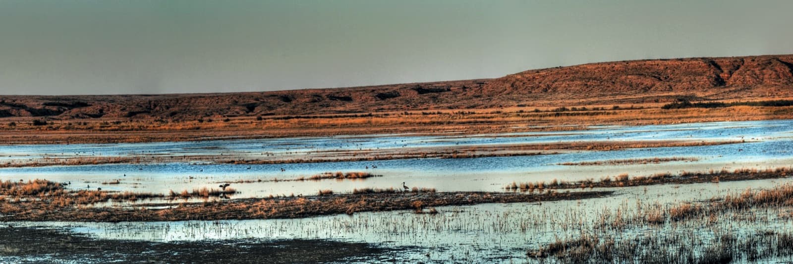
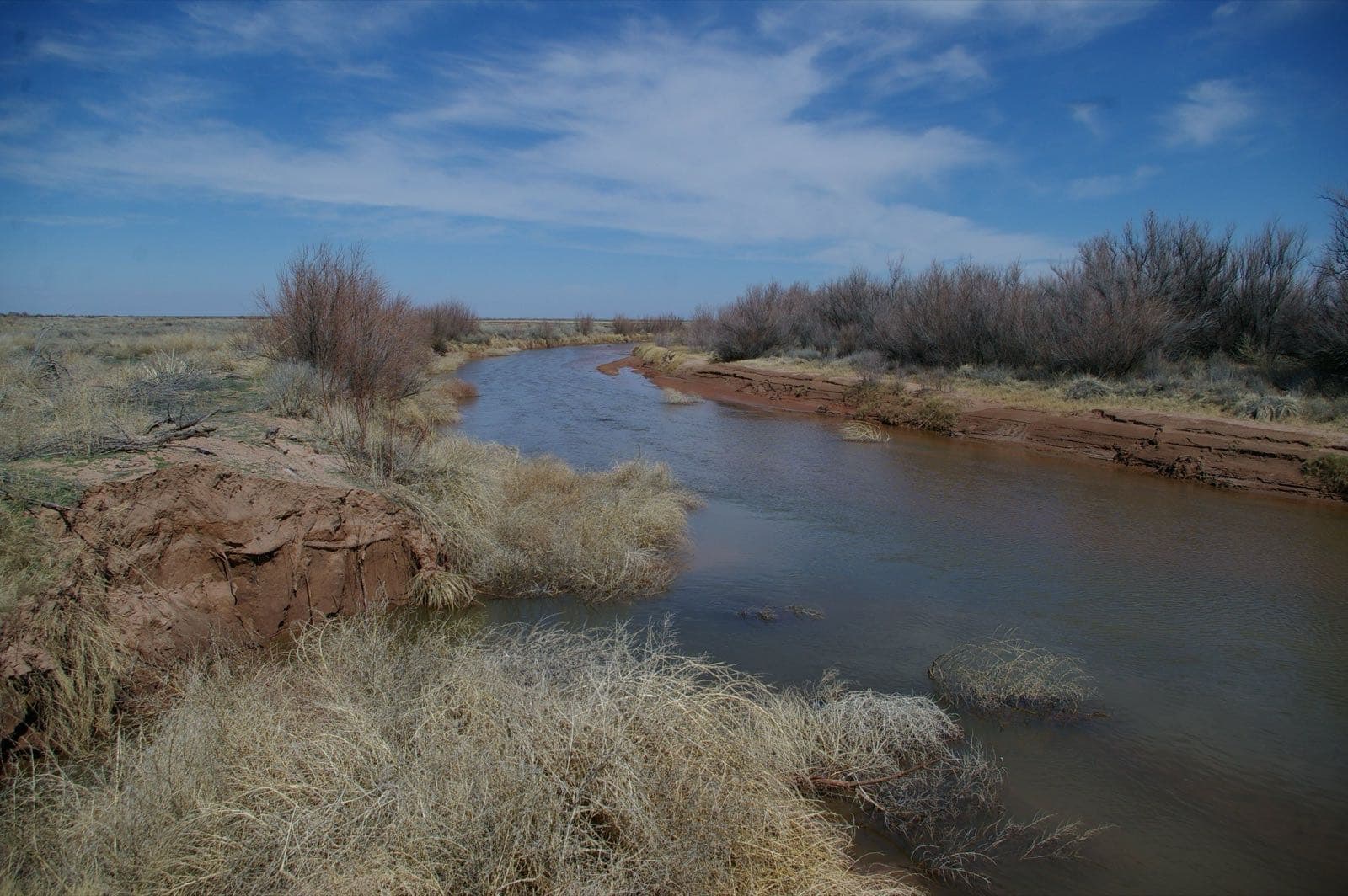
Bitter Lake Refuge in pictures
Questions people ask
How do I get there?
It's 7 miles northeast of Roswell: from the north side of town, take US 285 (Main Street) north to Pine Lodge Road, then east about 6 miles to the refuge entrance.Source: U.S. Fish and Wildlife Service, Bitter Lake NWR: Visit us ↗ (opens in a new tab)
Are there restrooms?
Inside the visitor center during business hours, and primitive toilets at the Desert Upland Trailhead on the southwest part of the Wildlife Drive.Source: U.S. Fish and Wildlife Service, Bitter Lake NWR: Visit us ↗ (opens in a new tab)
Can I bike?
Yes, on the Wildlife Drive or the refuge's four-mile (round trip) bike trail.Source: U.S. Fish and Wildlife Service, Bitter Lake NWR: Visit us ↗ (opens in a new tab)
When was Bitter Lake Refuge established?
In 1937, to give migratory birds winter habitat. The 24,563-acre refuge is key to wetland conservation in the southwestern desert.Source: U.S. Fish and Wildlife Service, Bitter Lake National Wildlife Refuge ↗ (opens in a new tab)
How we know
- Sep 28Park ServiceCranes October–December, peak around Thanksgiving; 6.5-mile Wildlife Drive; Pajáro Bird Blind; locationSource (opens U.S. Fish and Wildlife Service, Bitter Lake NWR: Visit us in a new tab)