Upper Delaware (New York side)fall foliage
No reports yet this season for Upper Delaware Scenic and Recreational River (New York side).
Right now in Upper Delaware (New York side) · September
3days to the next fall foliage seasonOct 1–31, The National Park Service says autumn foliage peaks in October along the river, though temperature and weather can shift the change
Next 7 days
No frost, strong wind or heavy rain in the forecast.
National Weather Service forecast, issued Mon 2:30 PM (Eastern). Frost: a low of 36°F or less; wind: 20 mph or more; rain: 60% chance or more.
Frost near Upper Delaware Scenic and Recreational River (New York side)
First frost usually in ~1 weeks
Oct 7Average first fall frost
May 12Average last spring frost
The day a 32°F night is as likely as not, 1991–2020, at NOAA's Callicoon Ctr station (12.3 mi away, 1,221 ft). Source ↗ (opens in a new tab)
Upper Delaware Scenic and Recreational River (New York side) through the year
- Autumn foliage peaks along the riverOct
- Life jackets required on the riverNov–Apr
- Wintering bald eaglesDec–Mar
Best spots around Upper Delaware Scenic and Recreational River (New York side)
- D&H Towpath Trail (Roebling Aqueduct)About 0.8 mile, relatively flat, from a trailhead on NY Route 97; can be damaged after floods
- Barbara Yeaman Observation Area (Minisink Ford)A riverside trail from the towpath adds roughly 0.4 mile one way
- Bouchoux Trail (Lordville)A steep, difficult climb to Jensen’s Ledges and a panoramic view of the river valley
Around New York this week
- Western Catskills33 mi · Statewide: well under way by ~Oct 20Todaydry and calmTuedry and calmWeddry and calmThudry and calmFridry and calmSatdry and calmSundry and calm
- North-South Lake63 mi · Statewide: well under way by ~Oct 20Todaydry and calmTuedry and calmWeddry and calmThudry and calmFridry and calmSatdry and calmSundry and calm
- Vanderbilt Mansion64 mi · usually Oct 11–20Todaydry and calmTuedry and calmWeddry and calmThudry and calmFridry and calmSatdry and calmSundry and calm
Trees this fall (Sep 15–21). Across the Mid-Atlantic, sugar maple and flowering dogwood are behind a typical year; the rest are close to typical. Which trees turn when →
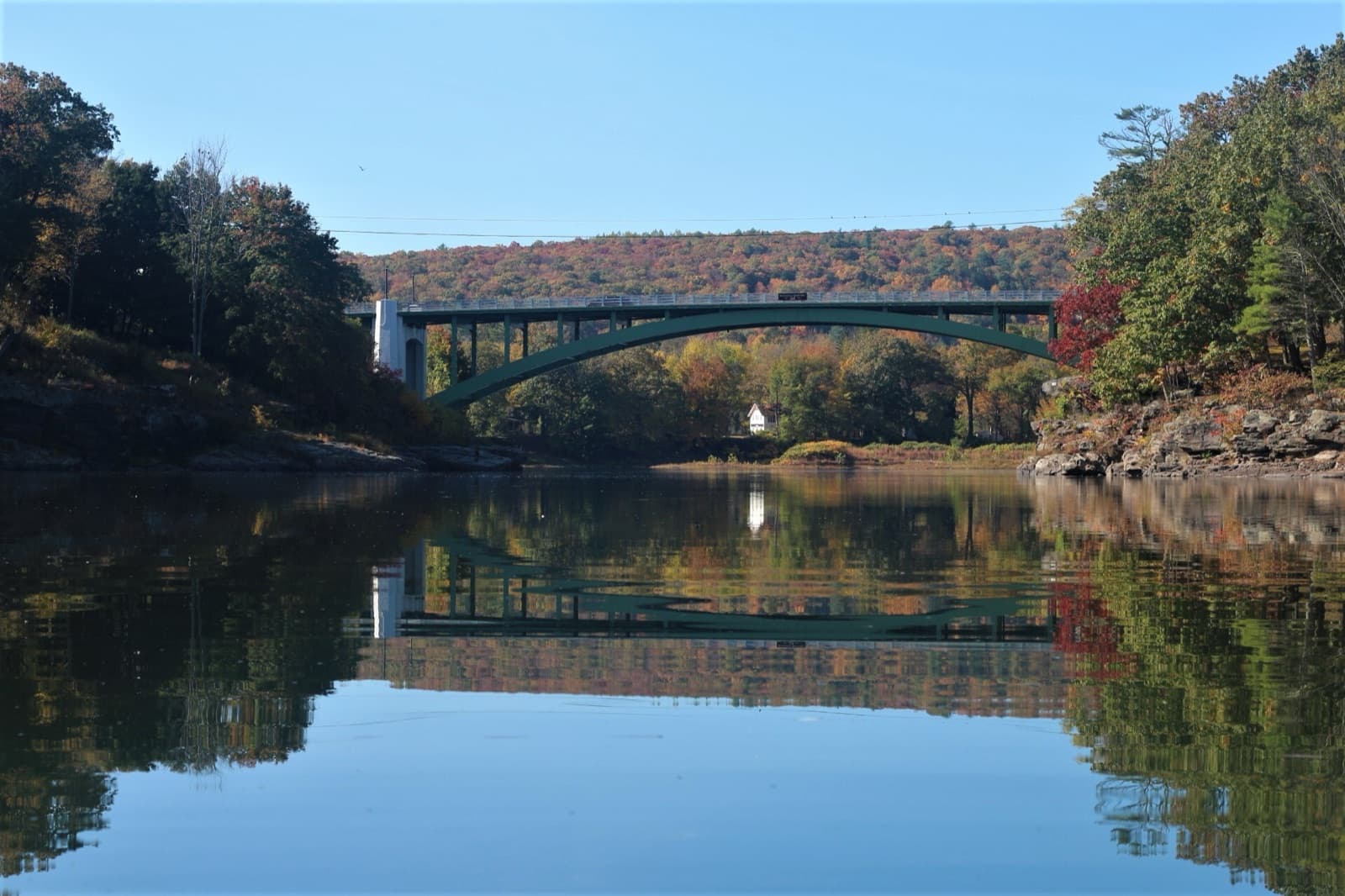
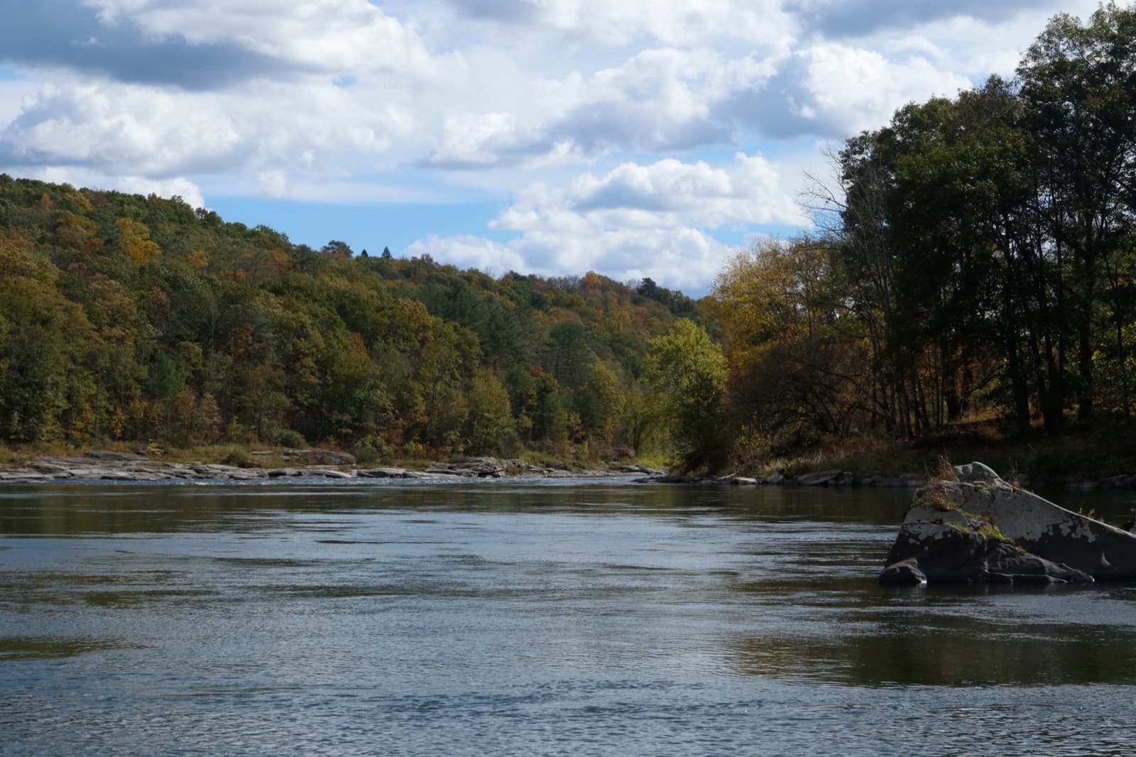
Upper Delaware (New York side) in pictures
How we know
National Park Service, Upper Delaware weather (opens in a new tab) (Sep 28) · National Park Service, Bouchoux Trail hike (2015) (opens in a new tab) (Sep 28) · USGS Geographic Names Information System, New York (opens in a new tab) (Sep 28) · National Park Service, Upper Delaware birds (opens in a new tab) (Sep 28) · National Park Service, D&H Towpath Trail (opens in a new tab) (Sep 28) · National Park Service, Take a hike on the Bouchoux Trail (2021) (opens in a new tab) (Sep 28) · National Weather Service forecast and alerts (opens in a new tab) (Sep 28) · USA National Phenology Network, colored leaves observations (opens in a new tab) (Sep 28) · NOAA NCEI U.S. Climate Normals 1991–2020 (annual/seasonal) (opens in a new tab) (Sep 27)
Questions people ask
When is peak fall foliage in Upper Delaware Scenic and Recreational River (New York side) in 2026?
The National Park Service says autumn foliage peaks in October along the river, though temperature and weather can shift the change: Oct 1–31. That's general timing for this place, not a peak date or a forecast.
How is the fall color in Upper Delaware Scenic and Recreational River (New York side) right now?
Not now: the fall foliage season is over for this year. The next one starts in about 3 days (Oct 1–31, The National Park Service says autumn foliage peaks in October along the river, though temperature and weather can shift the change).
Where is the map pin?
At the Bouchoux Trail trailhead near Lordville, NY, from the GPS coordinates the Park Service published for it; they fall beside Bouchoux Brook in Delaware County, NY, in the USGS place-name records. The towpath and the Minisink Ford observation area are far downriver: the park covers over 73 miles of river, from Hancock to Port Jervis.Sources: National Park Service, Bouchoux Trail hike (2015) ↗ (opens in a new tab), USGS Geographic Names Information System, New York ↗ (opens in a new tab), National Park Service, Upper Delaware weather ↗ (opens in a new tab)
When can I see bald eagles?
Wintering bald eagles are typically in the river valley from mid-December through mid-March, and resident eagles can be seen year-round.Source: National Park Service, Upper Delaware birds ↗ (opens in a new tab)
Do I need a life jacket?
From November 1 through April 30, everyone on the river must wear one, because of the risk of cold water shock.Source: National Park Service, Upper Delaware weather ↗ (opens in a new tab)
Is there an easy walk?
The D&H Towpath Trail: about 0.8 mile, relatively flat, with less than ten feet of elevation change, from a trailhead on NY Route 97. Check for closures after high water.Source: National Park Service, D&H Towpath Trail ↗ (opens in a new tab)
Where are the best spots in Upper Delaware Scenic and Recreational River (New York side)?
D&H Towpath Trail (Roebling Aqueduct): about 0.8 mile, relatively flat, from a trailhead on NY Route 97; can be damaged after floods; Barbara Yeaman Observation Area (Minisink Ford): a riverside trail from the towpath adds roughly 0.4 mile one way; Bouchoux Trail (Lordville): a steep, difficult climb to Jensen’s Ledges and a panoramic view of the river valley.
What is Upper Delaware Scenic and Recreational River (New York side) like through the year?
Autumn foliage peaks along the river (Oct), Wintering bald eagles (Dec–Mar) and Life jackets required on the river (Nov–Apr).