Oregon
When to catch Malheur Refugeat its best
Malheur Refuge through the year: spring waterfowl (local timing: late winter through the end of May) and pintails and shovelers (local timing: mid-August). Each has its own page with spots, sources and the latest reports.
Updated
About Malheur Refuge
- What it is
- A wildlife refuge in Oregon
- A little history
- President Theodore Roosevelt established the Lake Malheur Reservation (Malheur, Mud and Harney Lakes) on August 18, 1908, as a preserve and breeding ground for native birds.The Harney and Stinking Lake Research Natural Areas were established in 1975.
- What you'll see
- Spring waterfowl · Feb–MayPintails and shovelers · usual peak mid-August
- Before you go
- Is there a fee, and when is the refuge open? No fee: the refuge is always free and open every day from sunrise to sunset. Early morning and late evening are the best times to watch wildlife.When is the visitor center open? From April 1 to September 30, 8 a.m. to 4 p.m.; in March it has limited hours (call ahead), and it is closed from October 1 to the end of February. The George Benson Memorial Museum at headquarters is open daily from sunrise to sunset.
RIGHT NOW · OCT 2
- Latest reportNo dated report this season; the posters below show each usual window.
- This weekend (NWS)Sat sunny, 75°F · Sun sunny, 77°F
- Park alertsCheck the managing agency before you go
When are you going?
Fall at Malheur Refuge
Good in fall
- Tundra swans may gather at Knox, Benson and Marshall ponds (October and November)
From each place's own sources; no peak claimed.
Next peak here after fall
Winter at Malheur Refuge
Good in winter
- Winter: raptors, ducks, geese and swans, in smaller numbers
From each place's own sources; no peak claimed.
Nearby in winter
- SEASON · WINTERING DUCKSDeer Flat RefugeWintering ducksWildlife refugeOctober through JanuaryU.S. Fish and Wildlife Service ↗
Next peak here after winter
Spring at Malheur Refuge
- SEASON · SPRING WATERFOWLMalheur RefugeSpring waterfowlWildlife refugeLate winter through the end of MayU.S. Fish and Wildlife Service ↗
Next peak here after spring
Summer at Malheur Refuge
- MOST NUMEROUS · PINTAILS AND SHOVELERSMalheur RefugePintails and shovelersWildlife refugeMid-AugustU.S. Fish and Wildlife Service ↗
Where to go at Malheur Refuge
- Spring
Visitor points on this map: HQ Museum (0 mi) · Environmental Education Pavilion (0.1 mi) · Marshall Pond Observation Blind (0.1 mi)
Places on this map, as a list
Best spots
- Overlook Trail at Refuge HeadquartersGood for spring waterfowlA short (0.11-mile) walk up from headquarters through sagebrush to a 1930s lookout tower with the refuge's best view of Malheur Lake, which is itself closed to the public; headquarters is 32 miles south of Burns (26 miles on Highway 205, then 6 miles east on Sodhouse Lane)U.S. Fish and Wildlife Service ↗
- Buena Vista Overlook TrailGood for spring waterfowl · pintails and shovelersA 0.33-mile walk (or a drive) to an overlook of Steens Mountain and the Blitzen Valley, noted by the refuge as an excellent birding hike; Buena Vista Ponds is one of its best birding sites, and there are restrooms at the overlookU.S. Fish and Wildlife Service ↗
- Benson Pond TrailGood for pintails and shovelersA trail with many birds to watch and hear; trumpeter swans typically nest on the pondU.S. Fish and Wildlife Service ↗
- Marshall Pond at HeadquartersGood for pintails and shovelersTundra swans may gather here in October and November; one of the refuge's suggested winter stopsU.S. Fish and Wildlife Service ↗
Next 7 days at Malheur Refuge
- TodayPartly Sunny72° / 47°–
- SatSunny75° / 48°–
- SunSunny77° / 50°2% rain
- MonMostly Sunny76° / 48°2% rain
- TueSunny73° / 47°–
- WedSunny72° / 46°–
- ThuSunny73° / ––
Today: sunrise 6:55 a.m., sunset 6:36 p.m., light until 7:05 p.m. · moon last quarter, 54% lit (our calculation)
Worth the drive, and when they peak
- SEASON · WINTERING DUCKSDeer Flat RefugeWintering ducksWildlife refugeOctober through January“October through January” · U.S. Fish and Wildlife Service ↗
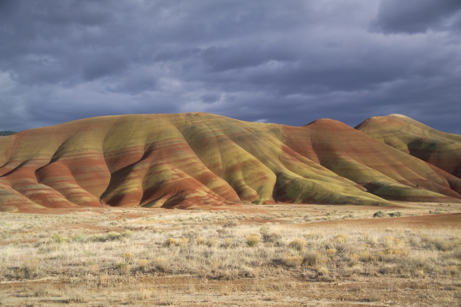 SEASON · WILDFLOWERSJohn Day Fossil BedsWildflowersNational park· National MonumentApril to July, unit by unit“April to July, unit by unit” · National Park Service ↗
Towns nearby
- Boise City, ID133 mi
- Bend, OR135 mi
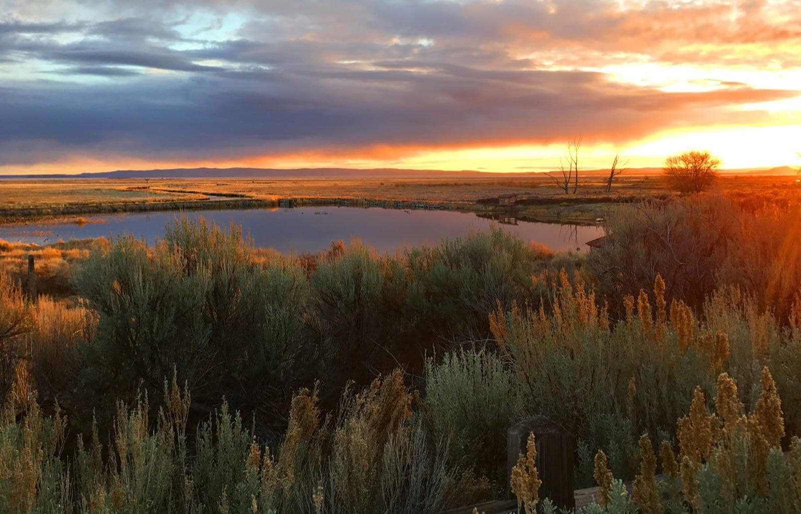
Malheur Refuge in pictures
Questions people ask
Is there a fee, and when is the refuge open?
No fee: the refuge is always free and open every day from sunrise to sunset. Early morning and late evening are the best times to watch wildlife.Sources: U.S. Fish and Wildlife Service, Malheur National Wildlife Refuge ↗ (opens in a new tab), U.S. Fish and Wildlife Service, Malheur NWR: Species (Seasons of Wildlife) ↗ (opens in a new tab)
Can I walk anywhere on the refuge?
No. To protect wildlife, all areas are closed unless posted open at designated trails, sites or facilities, and Malheur Lake itself is closed to the public. Birding is allowed only on designated roads, trails and sites shown on the refuge map. Pets must be on a leash.Sources: U.S. Fish and Wildlife Service, Malheur NWR: Visit Us ↗ (opens in a new tab), U.S. Fish and Wildlife Service, Malheur NWR: Auto tour (birding: when to go and best sites) ↗ (opens in a new tab), U.S. Fish and Wildlife Service, Malheur NWR: Trails ↗ (opens in a new tab)
What are the roads like, and can I get fuel there?
Refuge roads are gravel, with few pullouts along the 42-mile auto tour route and limited turnarounds for larger vehicles. The refuge has no lodging or fuel, so arrive with a full tank and a vehicle in good condition. Roads can close when conditions are hazardous, mostly in fall and winter; call (541) 493-2612 for current road conditions.Source: U.S. Fish and Wildlife Service, Malheur NWR: Visit Us ↗ (opens in a new tab)
When is the visitor center open?
From April 1 to September 30, 8 a.m. to 4 p.m.; in March it has limited hours (call ahead), and it is closed from October 1 to the end of February. The George Benson Memorial Museum at headquarters is open daily from sunrise to sunset.Source: U.S. Fish and Wildlife Service, Malheur NWR: Visit Us ↗ (opens in a new tab)
How we know
- Sep 29Park ServiceSeasons of wildlife: greatest waterfowl and songbird variety from late winter through the end of May; summer shorebirds, fall cranes, swans in October and NovemberSource (opens U.S. Fish and Wildlife Service, Malheur NWR: Species (Seasons of Wildlife) in a new tab)
- Sep 29Park ServiceWhen to go for birding, rules for birding on designated roads and trails, and the best birding sitesSource (opens U.S. Fish and Wildlife Service, Malheur NWR: Auto tour (birding: when to go and best sites) in a new tab)
- Sep 30Park ServiceMalheur National Wildlife Refuge: seasonal timingSource (opens U.S. Fish and Wildlife Service, Malheur National Wildlife Refuge in a new tab)