Wildlife refuge · Washington
Columbia National Wildlife Refuge
Columbia National Wildlife Refuge is run by the U.S. Fish and Wildlife Service. Its own timing: March and April.
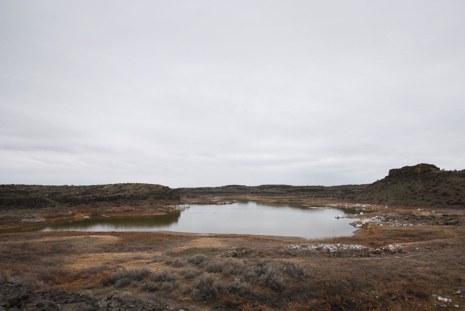
Columbia National Wildlife Refuge in pictures
Illustrative photos, not current conditions
What the U.S. Fish and Wildlife Service says
“In its natural state, almost all of Columbia National Wildlife Refuge would be considered desert, with the exception of the naturally ephemeral Crab Creek.”Visit official site ↗
When to go
In the source's own words; no peak claimed unless the source says so
- March and April“The largest concentrations of ducks, geese and lesser Sandhill cranes arrive on the refuge in March and April, at times numbering over 75,000 individuals.”
Before you go
To see the exposed basalt columns up close, try the Pipistrelle Cliffs at the head of the Black Lake Trail.
Columbia National Wildlife Refuge on the map
With the places we follow within 60 miles
- Hanford ReachUsually: April and early May
- Columbia National Wildlife Refuge
Nearby
Within 60 straight-line miles; roads are longer
- Hanford ReachWildflowers · April and early May · 19 mi
Worth the drive
60 to 100 straight-line miles away
Turnbull Refuge 84 mi
How we know
Every fact on this page, from these pages
- Sep 30Park ServiceColumbia National Wildlife Refuge: seasonal timing (Codex round 25; saved under research/round25/pages/)Source (opens U.S. Fish and Wildlife Service, Columbia National Wildlife Refuge in a new tab)
- Oct 1Park ServiceColumbia National Wildlife Refuge (Codex round 28)Source (opens U.S. Fish and Wildlife Service, Columbia National Wildlife Refuge in a new tab)
- Oct 1Park ServiceColumbia National Wildlife Refuge (Codex round 28)Source (opens U.S. Fish and Wildlife Service, Columbia National Wildlife Refuge in a new tab)