National Battlefield · Pennsylvania
Fort Necessity National Battlefield
Fort Necessity National Battlefield is run by the National Park Service. Its own timing: around mid-October.
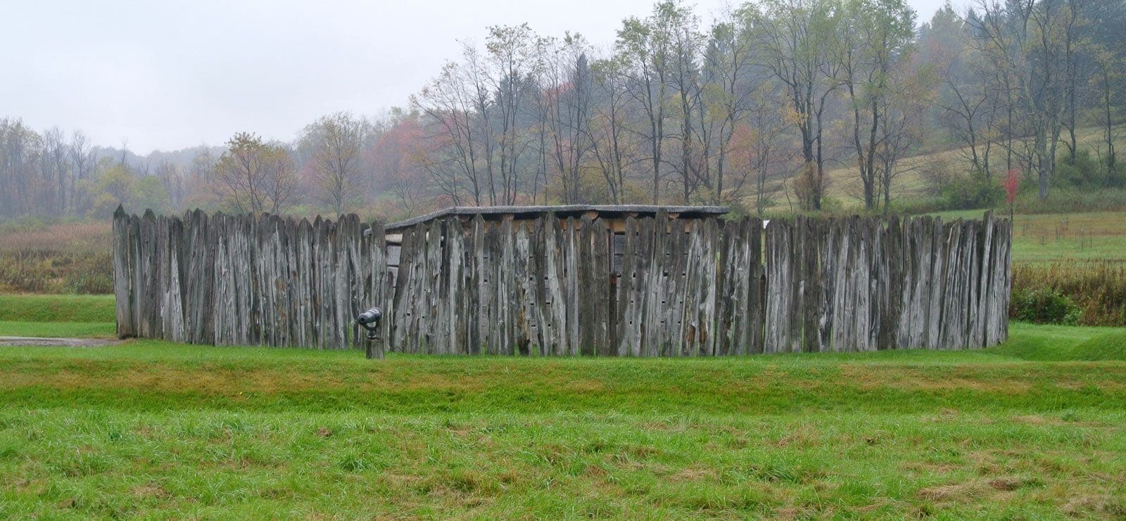
Fort Necessity National Battlefield in pictures
Illustrative photos, not current conditions
What the National Park Service says
“A visit to Fort Necessity includes a walk to the reconstructed fort in the Great Meadow.”Visit official site ↗
When to go
In the source's own words; no peak claimed unless the source says so
- around mid-October“Fall foliage is at its peak around mid-October.”
- Season“Cross-country skiing is available in winter. The trails are not groomed.”
Before you go
There are no trails from the fort to either Braddock's grave or Jumonville Glen.
Fort Necessity National Battlefield on the map
With the places we follow within 60 miles
- Spring
- Fall
Other places to visit
Places on this map, as a list
Nearby
Within 60 straight-line miles; roads are longer
- Ohiopyle State ParkFall foliage · Oct (statewide) · 9 mi
- Laurel Hill State ParkFall foliage · Oct (statewide) · 26 mi
- Canaan Valley RefugeFall foliage · late September · 47 mi
- Dolly SodsWildflowers · from May through June · 55 mi
Worth the drive
60 to 100 straight-line miles away
Stuart Memorial Drive 61 mi · Ohio River Islands Refuge 88 mi
How we know
Every fact on this page, from these pages
- Sep 30Park ServiceFort Necessity National Battlefield: seasonal timing (Codex round 25; saved under research/round25/pages/)Source (opens National Park Service, Fort Necessity National Battlefield in a new tab)
- Oct 1Park ServiceOutdoor Activities - Fort Necessity National Battlefield (Codex round 28)Source (opens National Park Service, Outdoor Activities - Fort Necessity National Battlefield in a new tab)
- National Park Service sources: no claim to original U.S. Government works.