Scenic byway · Utah
Mount Nebo Scenic Byway (Nebo Loop)
Mount Nebo Scenic Byway (Nebo Loop) is run by the USDA Forest Service. Its own timing: starting mid to late September.
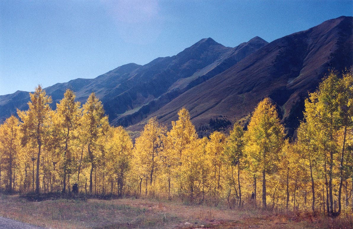
Mount Nebo Scenic Byway (Nebo Loop) in pictures
Illustrative photos, not current conditions
What the USDA Forest Service says
“A 35-mile paved road paralleling the Mt. Nebo Wilderness Area on the Uinta National Forest.”Visit official site ↗
When to go
In the source's own words; no peak claimed unless the source says so
- starting mid to late September“The byway is nationally known for its wonderful views of bright fall foliage. Best viewing time varies year to year, usually starting mid to late September.”
- Season“A wide range of wildflowers can be seen along the byway from June through late September.”
Before you go
Don’t be distracted by the scenery while driving. Stay on your side of the road except while crossing into a pullout.
Worth the drive
60 to 100 straight-line miles away
Fish Springs Refuge 89 mi
How we know
Every fact on this page, from these pages
- Sep 30Park ServiceMount Nebo Scenic Byway (Nebo Loop): seasonal timing (Codex round 25; saved under research/round25/pages/)Source (opens USDA Forest Service, Mount Nebo Scenic Byway (Nebo Loop) in a new tab)