National forest · Utah
Mount Timpanogos Trails, Uinta-Wasatch-Cache National Forest
Mount Timpanogos Trails, Uinta-Wasatch-Cache National Forest is run by the USDA Forest Service. Its own timing: late July and early August.
Mount Timpanogos Trails, Uinta-Wasatch-Cache National Forest in pictures
Illustrative photos, not current conditions
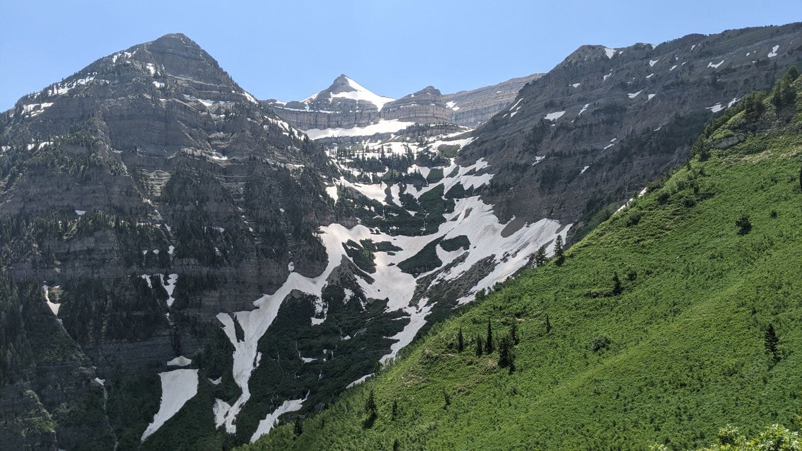
What the USDA Forest Service says
“Mount Timpanogos is located in the Wasatch Mountain Range within the Mount Timpanogos Wilderness Area which is located between American Fork Canyon on the north and Provo Canyon on the south.”Visit official site ↗
When to go
In the source's own words; no peak claimed unless the source says so
- late July and early August“During the peak wildflower season which is late July and early August, this popular destination is a beautiful place to hike as a multitude of mountain wildflowers burst into colorful full bloom.”
Before you go
Sturdy well-fitting hiking boots are recommended.
Worth the drive
60 to 100 straight-line miles away
Bear River Refuge 80 mi
How we know
Every fact on this page, from these pages
- Sep 30Park ServiceMount Timpanogos Trails: seasonal timing (Codex round 25; saved under research/round25/pages/)Source (opens USDA Forest Service, Mount Timpanogos Trails in a new tab)