Wildlife refuge · California
Sutter National Wildlife Refuge
Sutter National Wildlife Refuge is run by the U.S. Fish and Wildlife Service. Its own timing: between January and February.
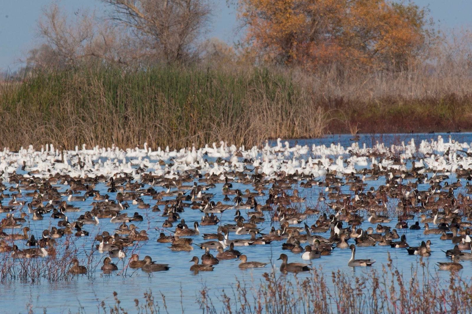
Sutter National Wildlife Refuge in pictures
Illustrative photos, not current conditions
What the U.S. Fish and Wildlife Service says
“It was established to provide feeding and nesting areas for migratory birds and alleviate crop depredation.”Visit official site ↗
When to go
In the source's own words; no peak claimed unless the source says so
- between January and February“Waterfowl are present September through April and numbers peak later than most other refuges in the Complex”
- Most numerous“Waterfowl are present September through April and numbers peak later than most other refuges in the Complex between January and February.”
Before you go
There are limited wildlife viewing and photographic opportunities from Hughes Road, which bisects the refuge.
Sutter National Wildlife Refuge on the map
With the places we follow within 60 miles
- Sacramento RefugeLocal timing: November and December
- Sutter National Wildlife Refuge
Nearby
Within 60 straight-line miles; roads are longer
- Sacramento RefugeDucks and geese · November and December · 35 mi
Worth the drive
60 to 100 straight-line miles away
Lassen Volcanic 99 mi · Point Reyes 100 mi
How we know
Every fact on this page, from these pages
- Sep 30Park ServiceSutter National Wildlife Refuge: seasonal timing (Codex round 25; saved under research/round25/pages/)Source (opens U.S. Fish and Wildlife Service, Sutter National Wildlife Refuge in a new tab)