National Park Service site · West Virginia
Harpers Ferry National Historical Park
Harpers Ferry National Historical Park is run by the National Park Service. Its own timing: Harpers Ferry experiences all four seasons - the cold and snow of winter, the rain and flowers of spring, the humidity and sunshine of summer, and the chill and leaf change of fall..
Harpers Ferry National Historical Park in pictures
Illustrative photos, not current conditions
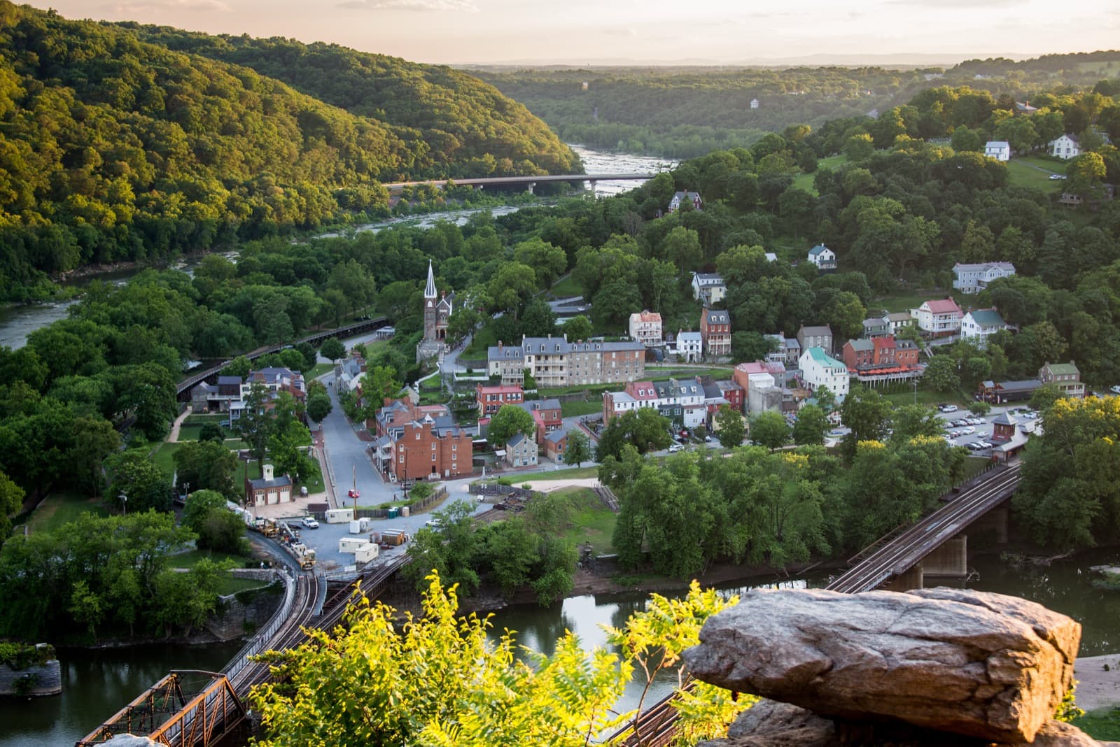
What the National Park Service says
“At the confluence of the Shenandoah and Potomac rivers, on the ancestral home of the Tuscarora and Shawnee people, lies Harpers Ferry.”Visit official site ↗
When to go
In the source's own words; no peak claimed unless the source says so
- Season“Harpers Ferry experiences all four seasons - the cold and snow of winter, the rain and flowers of spring, the humidity and sunshine of summer, and the chill and leaf change of fall.”
Before you go
The Visitor Center is located at the main entrance of the park at 171 Shoreline Drive, Harpers Ferry, WV 25425.
Harpers Ferry National Historical Park on the map
With the places we follow within 60 miles
- Spring
- Summer
- Fall
Other places to visit
Places on this map, as a list
Nearby
Within 60 straight-line miles; roads are longer
- AntietamFall foliage · Oct (statewide) · 10 mi
- Gambrill State ParkFall foliage · Oct (statewide) · 17 mi
- Catoctin MountainWildflowers · Apr–Aug · 28 mi
- Washington, DCCherry blossoms · Mar–Apr · 49 mi
- US National ArboretumCherry blossoms · Mar–Apr · 50 mi
- Kenilworth Aquatic GardensWildflowers · late May through September · 52 mi
- Patuxent Research RefugeFall foliage · late October · 55 mi
- Occoquan Bay RefugeFall foliage · late October · 56 mi
Worth the drive
60 to 100 straight-line miles away
Baltimore (Fort McHenry) 62 mi · Shenandoah 66 mi · Eastern Neck Refuge 84 mi · Canaan Valley Refuge 85 mi · Dolly Sods 85 mi · Laurel Hill State Park 92 mi · Ohiopyle State Park 100 mi
How we know
Every fact on this page, from these pages
- Sep 30Park ServiceOfficial NPS record for Harpers Ferry National Historical Park (Codex round 22; saved under research/round22/points/)Source (opens National Park Service, Harpers Ferry National Historical Park in a new tab)
- National Park Service sources: no claim to original U.S. Government works.