National forest · Wyoming
Teton Pass, Bridger-Teton National Forest
Teton Pass, Bridger-Teton National Forest is run by the USDA Forest Service. Its own timing: mid-July through early August.
Teton Pass, Bridger-Teton National Forest in pictures
Illustrative photos, not current conditions
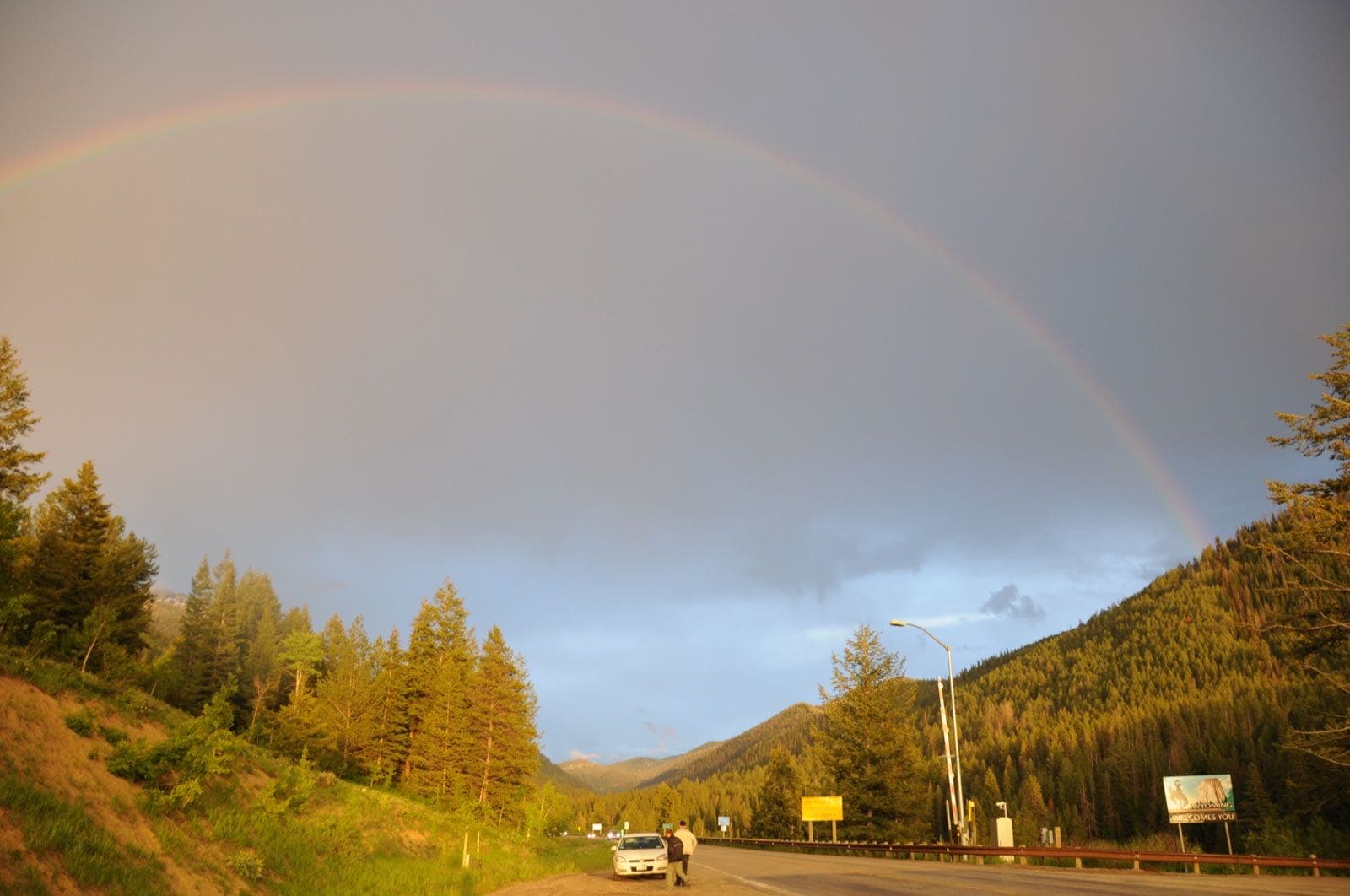
What the USDA Forest Service says
“At the summit of Teton Pass, this area is above 8,000 feet in elevation and there are fine views from the parking area across Jackson Hole to the mountain ranges beyond.”Visit official site ↗
When to go
In the source's own words; no peak claimed unless the source says so
- mid-July through early August“Peak wildflower season is mid-July through early August.”
Before you go
The easiest trail runs south from the parking area and traverses the side of an open park on the east slope of the ridge.
Teton Pass, Bridger-Teton National Forest on the map
With the places we follow within 60 miles
- Summer
- Winter
Other places to visit
Places on this map, as a list
Nearby
Within 60 straight-line miles; roads are longer
- National Elk RefugeWintering elk · Dec–Apr · 11 mi
- Grand TetonWildflowers · May through September · 19 mi
Worth the drive
60 to 100 straight-line miles away
Yellowstone 70 mi · Camas Refuge 73 mi
How we know
Every fact on this page, from these pages
- Sep 30Park ServiceTeton Pass: seasonal timing (Codex round 25; saved under research/round25/pages/)Source (opens USDA Forest Service, Teton Pass in a new tab)